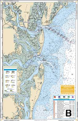
Large Print Navigation
Large Print Navigation identified by the Green Tile Block, Waterproof Charts began making Large Print Charts in 1989. Not only do these special editions have larger print buy they combine other features which make them much easier to read and use. Large, clear “Place Names” make your destinations easier to find while the bright colors help you identify water depth. GPS Waypoints make it easy to setup your electronics.
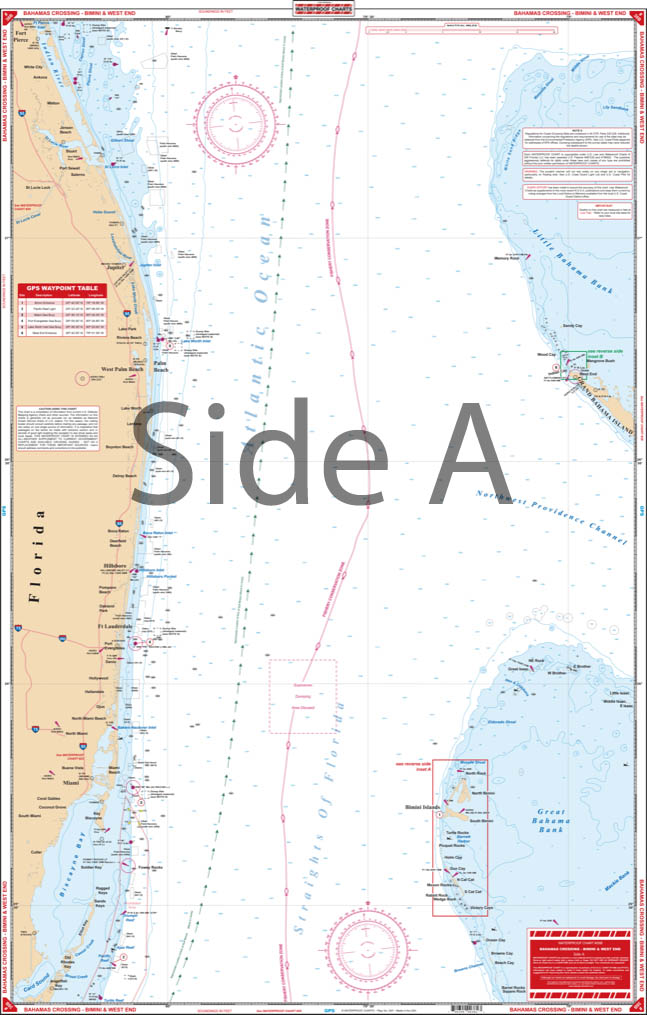
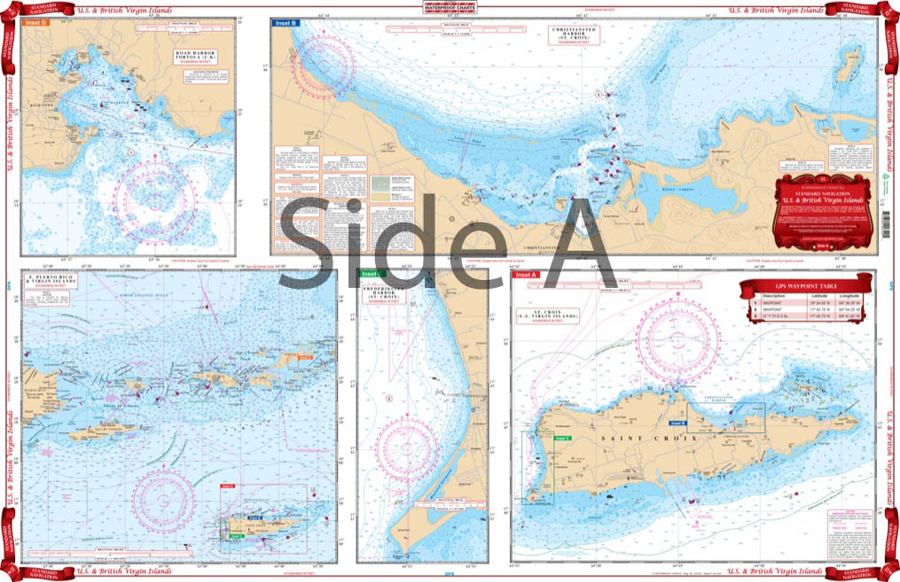
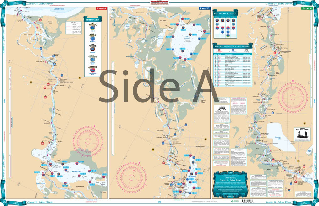
All of our Waterproof Charts are printed on Environmentally Friendly synthetic paper, can be marked on with a pencil and some grease pens. Coverage areas are from Maine to Texas, Bahamas and Caribbean Islands, Great Lakes and the West Coast of the United States from Washington down to Mexico.
Showing 1–9 of 31 results
-
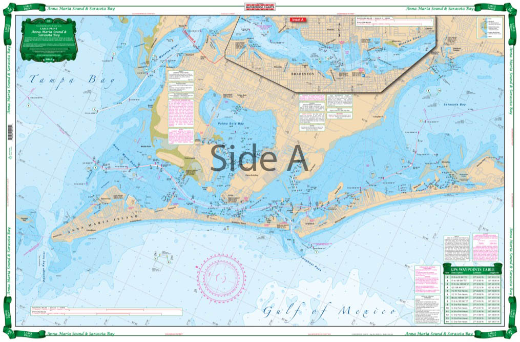
Anna Maria Sound and Sarasota Bay Large Print Navigation Chart 21E
$29.95 -
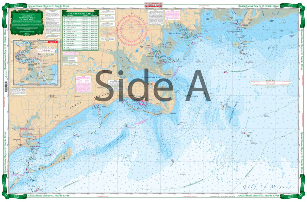
Apalachicola Bay to St. Marks River Large Print Navigation Chart 18E
$29.95 -
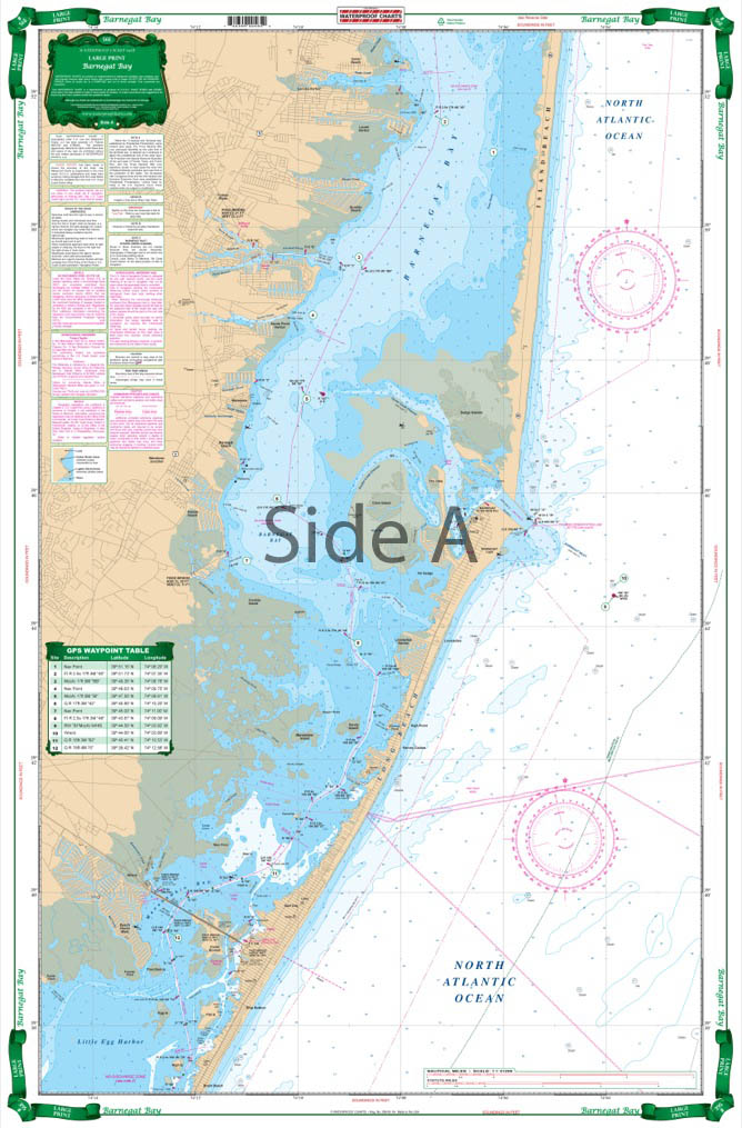
Barnegat Bay Large Print Navigation Chart 56E
$29.95 -
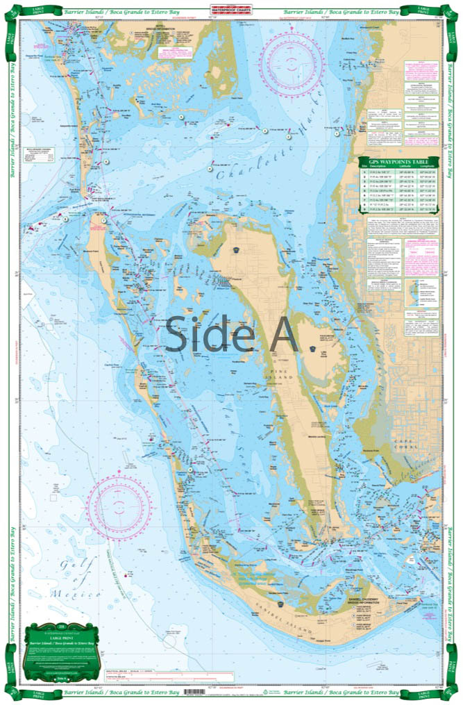
Barrier Islands Boca Grande to Estero Bay Large Print Navigation Chart 25E
$29.95 -
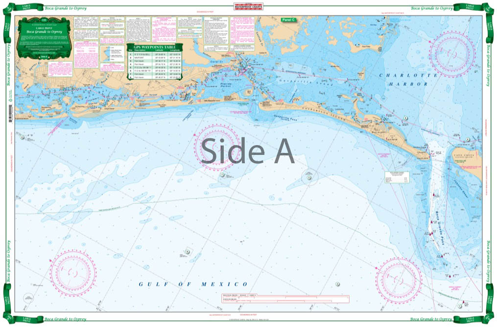
Boca Grande to Osprey and Lemon Bay Large Print Navigation Chart 24E
-
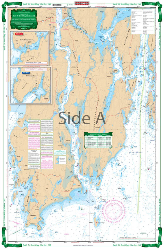
Boothbay Harbor Large Print Navigation Chart 102E
$29.95 -
Cape Cod South Shore Large Print Navigation Chart 51E
$29.95 -
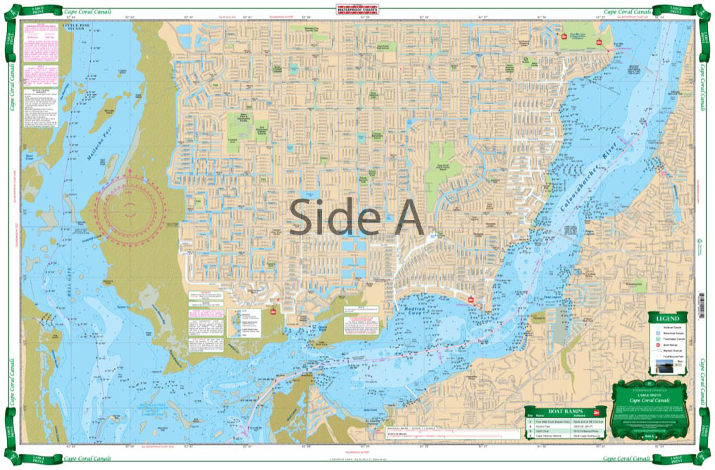
Cape Coral Canals Large Print Navigation Chart 7E
$29.95 -
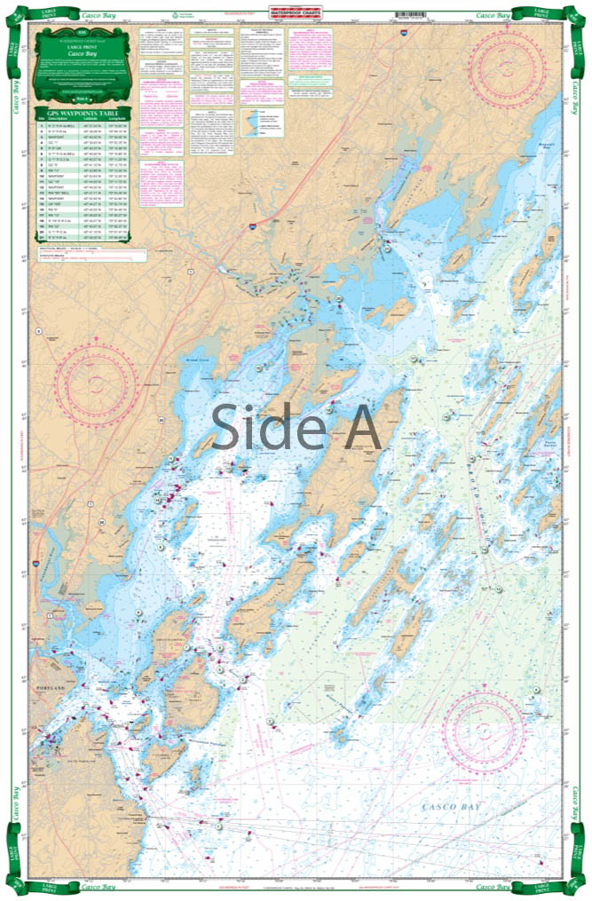
Casco Bay to Monhegan ME Large Print Navigation Chart 101E
$29.95
Top rated products
-
 Everglades Challenge Kit
$119.95
Everglades Challenge Kit
$119.95
-
 Bahamas Chart Kit
$144.95
Bahamas Chart Kit
$144.95
-
 Caribbean Chart Kit
$124.95
Caribbean Chart Kit
$124.95
-
 St John's River Chart Kit - Inshore Fishing
$59.95
St John's River Chart Kit - Inshore Fishing
$59.95
-
 Jacksonville to Hilton Head Chart Kit - Inshore Fishing
$89.95
Jacksonville to Hilton Head Chart Kit - Inshore Fishing
$89.95