Site Tracking Code
Chart Kits
Navigation Tools
Contact
0 Items
NOAA CHARTS
CHARTS BY REGION
CHARTS BY STYLE
CUSTOM CHARTS
Select Page
Home
/
NOAA
/ Portage Lake – 14939
Portage Lake – 14939
$
28.95
Style
Choose an option
Waterproof
Clear
Portage Lake - 14939 quantity
Add to cart
SKU:
14939
Category:
NOAA
Additional information
Dimensions
25.3 × 34.75 in
Style
Water Resistant, Small Format, Waterproof
Related products
North Pacific Ocean (eastern part) Bering Sea Continuation – 50
$
14.95
–
$
28.95
Price range: $14.95 through $28.95
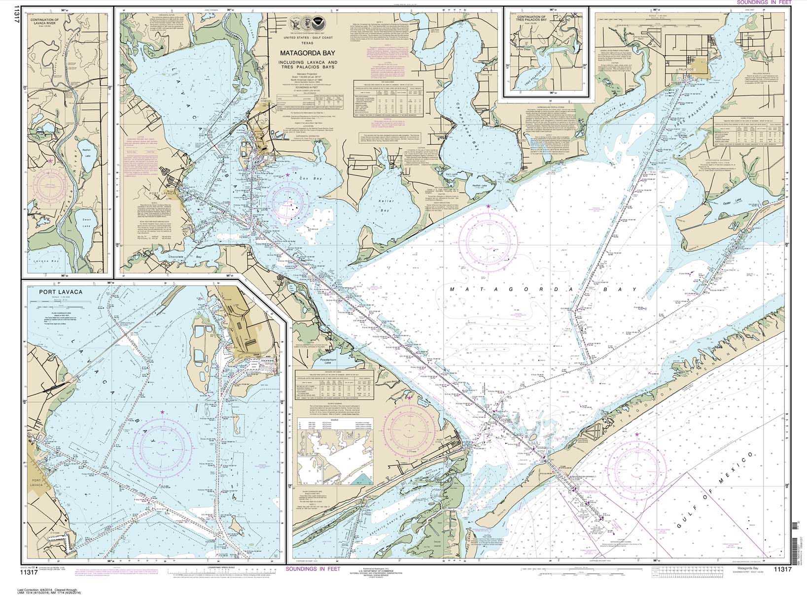
Matagorda Bay including Lavaca and Tres Palacios Bays; Port Lavaca; Continuation of Lavaca River; Continuation of Tres Palacios Bay – 11317
$
13.95
–
$
28.95
Price range: $13.95 through $28.95
Intracoastal Waterway Stover Point to Port Brownsville: including Brazos Santiago Pass – 11302
$
12.95
–
$
28.95
Price range: $12.95 through $28.95
Search for:
Search
Cart
Top rated products
Chicago River Wrapped Canvas Map Art
$
79.99
–
$
149.99
Price range: $79.99 through $149.99
Boston Harbor Wrapped Canvas Map Art
$
79.99
–
$
149.99
Price range: $79.99 through $149.99
Washington DC Wrapped Canvas Map Art
$
79.99
–
$
149.99
Price range: $79.99 through $149.99
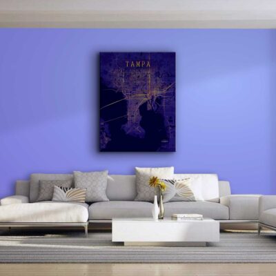
Tampa Bay Wrapped Canvas Map Art
$
79.99
–
$
149.99
Price range: $79.99 through $149.99
Seattle Wrapped Canvas Map Art
$
79.99
–
$
149.99
Price range: $79.99 through $149.99
Product categories
Select a category
Chart Kits
Framed Charts
Navigation Tools
NOAA
Region
Bahamas
California and Mexico
Cape Cod, New York and Vermont
Caribbean
Florida
Georgia to the Carolinas
Great Lakes
Gulf Coast
Hudson River and Lake Champlain
Maine to Boston
New York and New Jersey
Pacific Northwest
Virginia and Chesapeake Bay
Style
Bathymetric
Coastal Fishing
Decorative Charts
Inshore Fishing
Lake Fishing
Large Print Navigation
Offshore Fish/Dive
Standard Navigation
Uncategorized
Wall Art
City Canvas Series
Coastal Artwork