Description
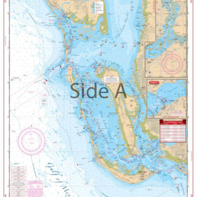
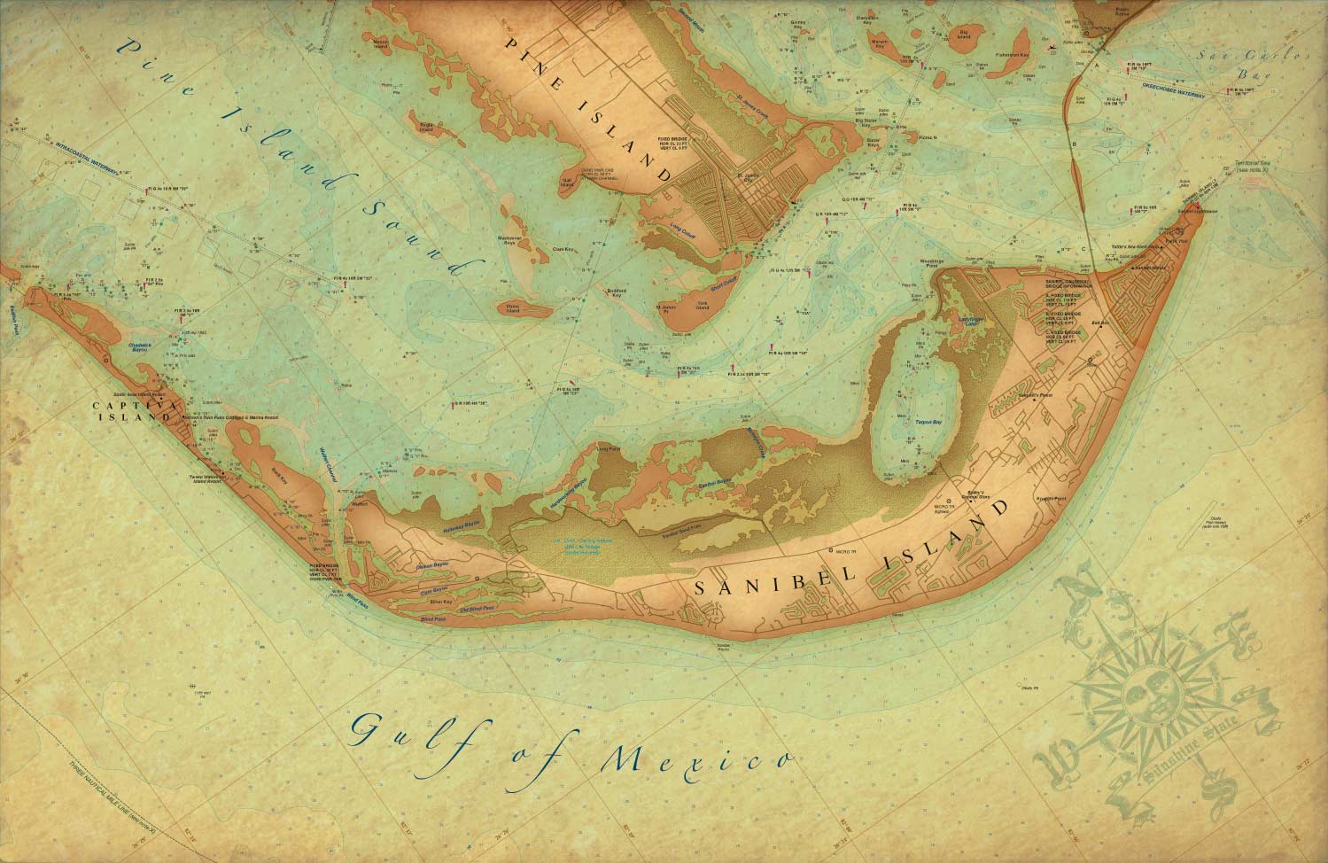
Antique map of Sanibel Island is a brand new addition to Waterproof Charts vintage style series. Covering the area from Sanibel Island up to Captiva Island. The antique style map highlights Sanibel Lighthouse to the Sanibel Causway. It also shows the southern part of Pine Island and Pine Island Sound.
Not a Waterproof and is NOT for Navigation, printed on high quality #80 stock. Dimensions 22″x 34″