Gulf Coast
Showing 28–36 of 56 results
-
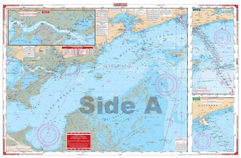
Lake Ponchartrain to Gulfport Navigation Chart 40
$26.95 -
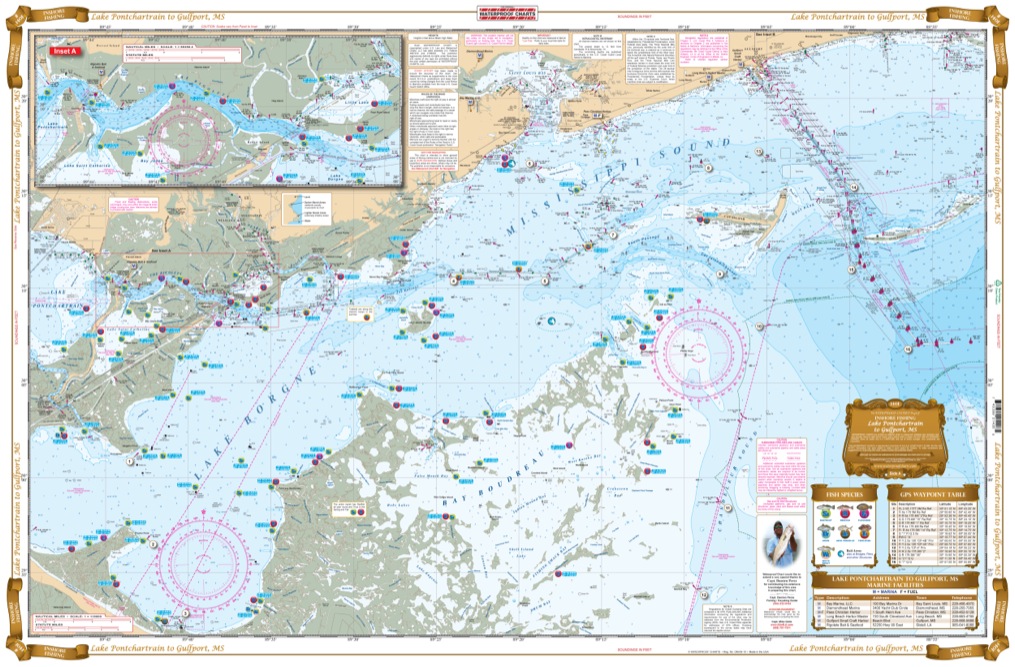
Lake Pontchartrain to Gulfport Inshore Fishing Chart 140F
$26.95 -
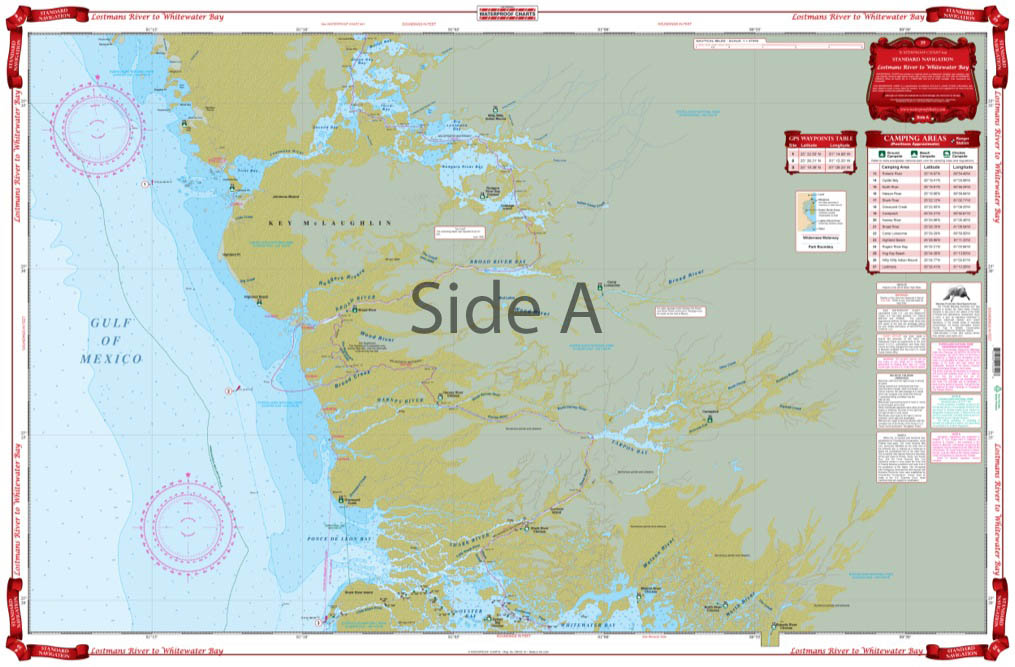
Lostmans River to Whitewater Bay Navigation Chart 39
$29.95 -
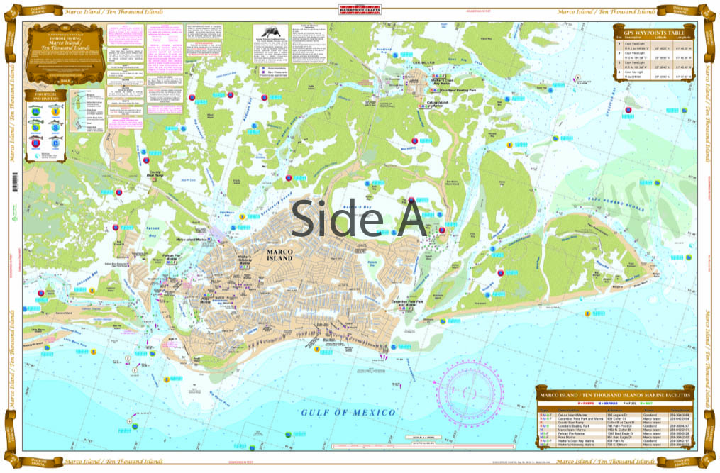
Marco Island and Ten Thousand Islands Inshore Fishing Chart 41F
$29.95 -
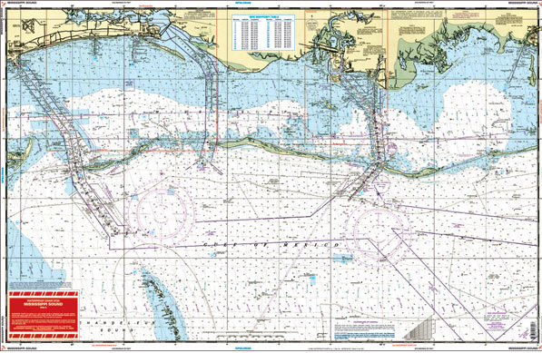
Mississippi Sound
$26.95 -
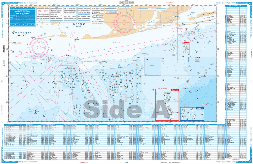
Mobile Bay to Pensacola Offshore Fish and Dive Chart 94F
$29.95 -
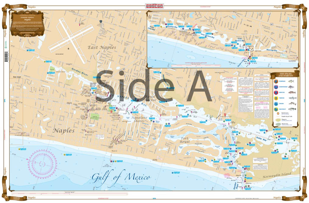
Naples Inshore Fishing Chart 4F
$29.95 -
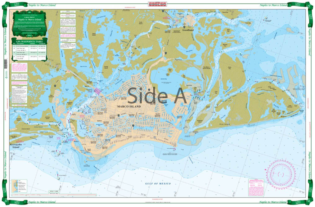
Naples to Marco Island Large Print Navigation Chart 41E
$29.95 -
Northwest Florida Fishing Offshore Fish and Dive Chart 5F
$29.95
Top rated products
-
 Everglades Challenge Kit
$119.95
Everglades Challenge Kit
$119.95
-
 Bahamas Chart Kit
$144.95
Bahamas Chart Kit
$144.95
-
 Caribbean Chart Kit
$124.95
Caribbean Chart Kit
$124.95
-
 St John's River Chart Kit - Inshore Fishing
$59.95
St John's River Chart Kit - Inshore Fishing
$59.95
-
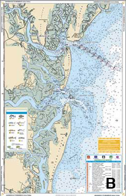 Jacksonville to Hilton Head Chart Kit - Inshore Fishing
$89.95
Jacksonville to Hilton Head Chart Kit - Inshore Fishing
$89.95