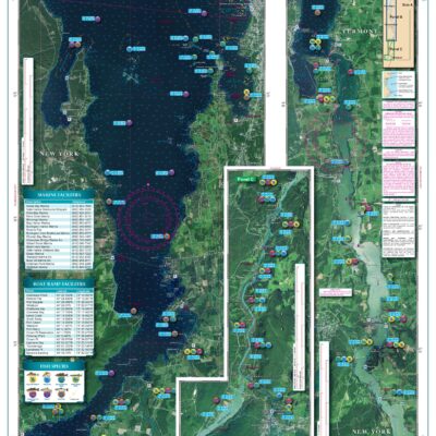
Hudson River and Lake Champlain
Hudson River & Lake Champlain
Showing all 5 results
Top rated products
-
 Everglades Challenge Kit
$119.95
Everglades Challenge Kit
$119.95
-
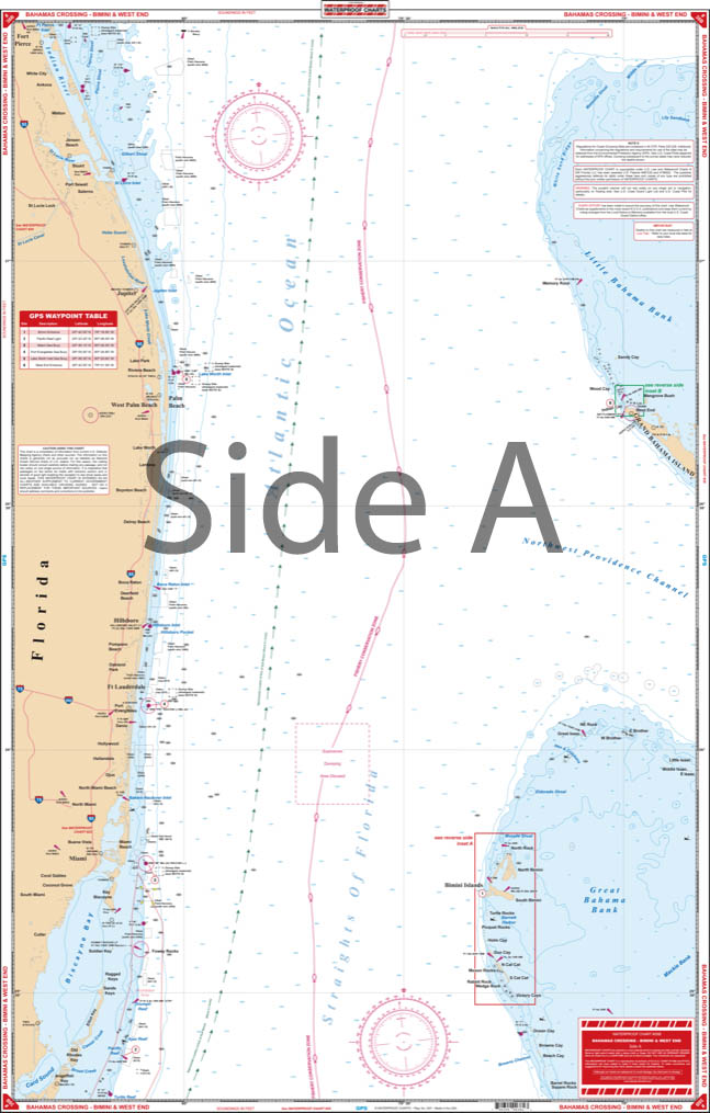 Bahamas Chart Kit
$144.95
Bahamas Chart Kit
$144.95
-
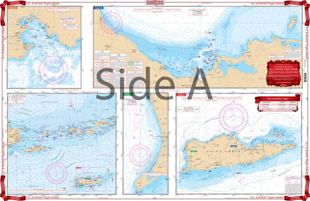 Caribbean Chart Kit
$124.95
Caribbean Chart Kit
$124.95
-
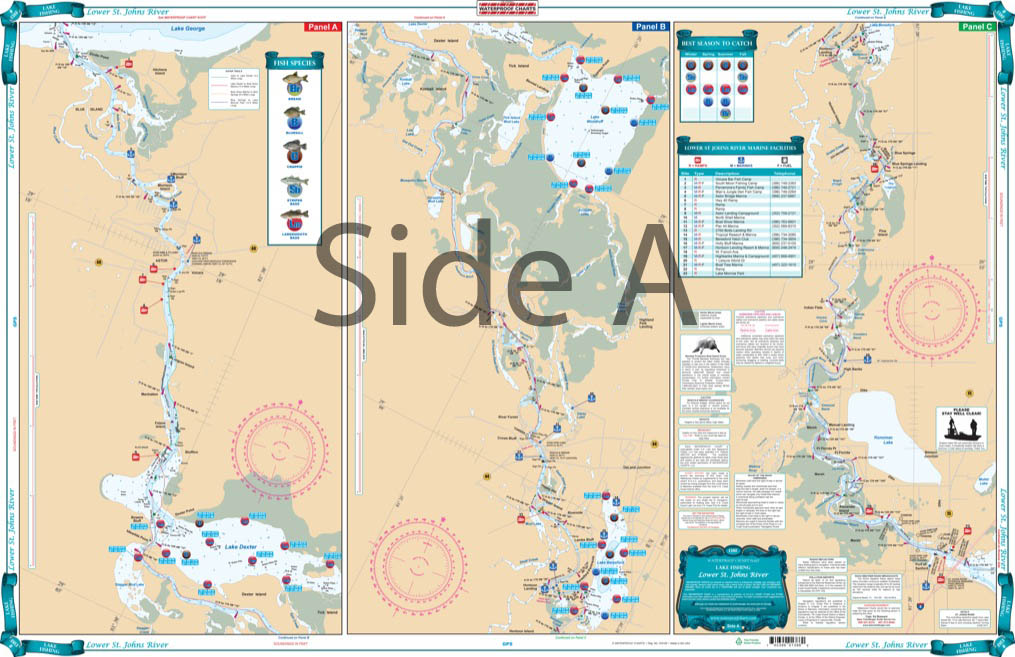 St John's River Chart Kit - Inshore Fishing
$59.95
St John's River Chart Kit - Inshore Fishing
$59.95
-
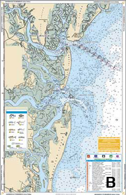 Jacksonville to Hilton Head Chart Kit - Inshore Fishing
$89.95
Jacksonville to Hilton Head Chart Kit - Inshore Fishing
$89.95