Bahamas
Showing 1–9 of 11 results
-
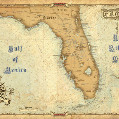
Antique Maps of Florida
$15.99 -

Bahamas Chart Kit
$144.95 -
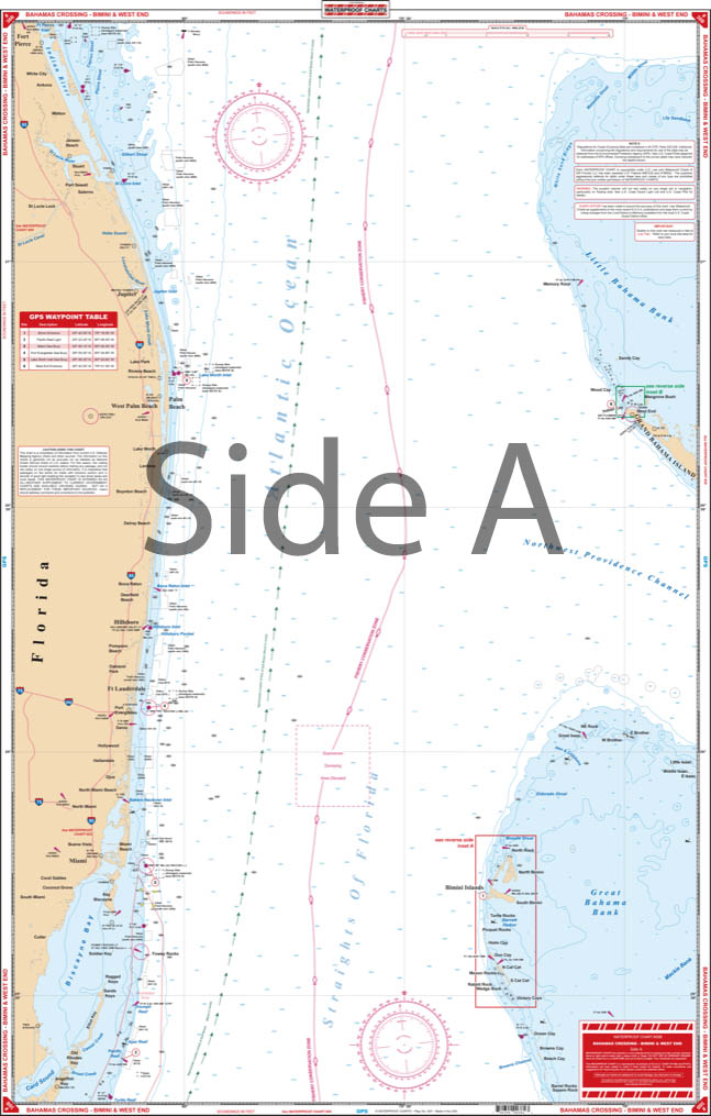
Bahamas Crossing – Bimini and West End Navigation Chart 38B
$34.95 -
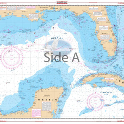
Caribbean and Gulf of Mexico Planning Chart 4
$34.95 -
Central Bahamas – Bimini to Georgetown Navigation Chart 38C
$34.95 -
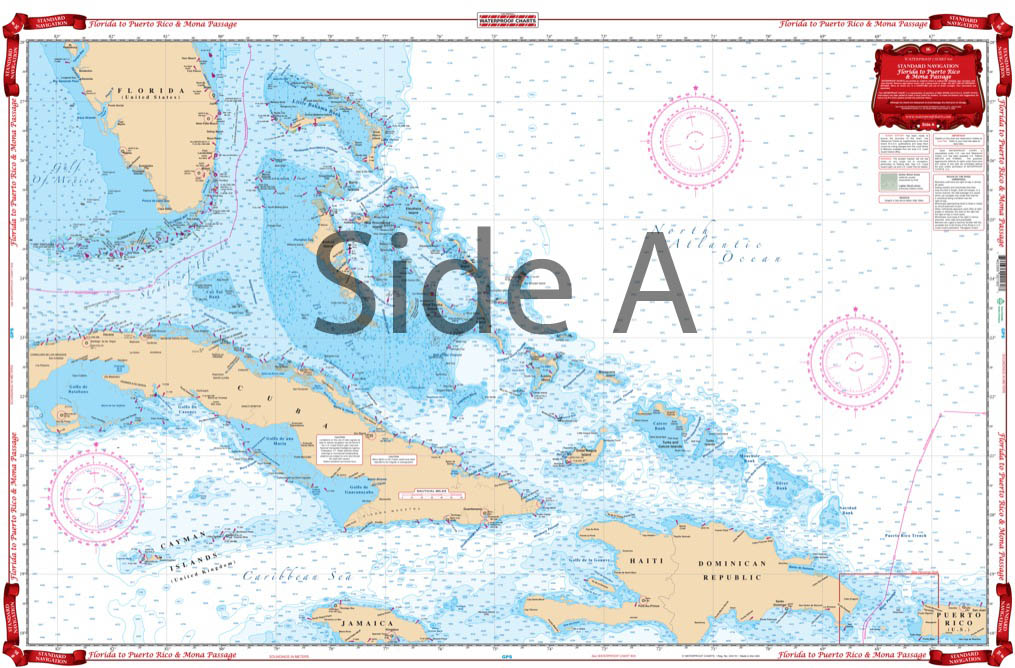
Florida to Puerto Rico and Mona Passage Navigation Chart 16
$34.95 -
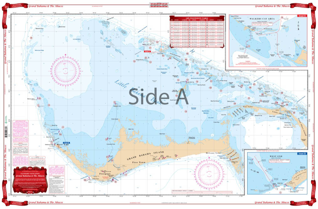
Grand Bahama and The Abacos Navigation Chart 38A
$34.95 -
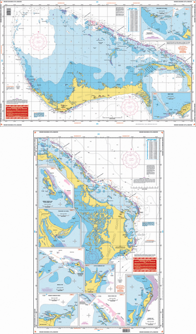
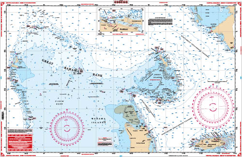
North Bahama Islands Navigation Chart 38
$34.95 -
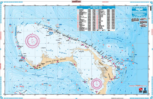
Northern Bahamas Bathymetric Offshore Fish and Dive Chart 120F
$34.95
Top rated products
-
 Everglades Challenge Kit
$119.95
Everglades Challenge Kit
$119.95
-
Bahamas Chart Kit
$144.95
-
 Caribbean Chart Kit
$124.95
Caribbean Chart Kit
$124.95
-
 St John's River Chart Kit - Inshore Fishing
$59.95
St John's River Chart Kit - Inshore Fishing
$59.95
-
 Jacksonville to Hilton Head Chart Kit - Inshore Fishing
$89.95
Jacksonville to Hilton Head Chart Kit - Inshore Fishing
$89.95