Florida
Florida
Showing 1–9 of 85 results
-
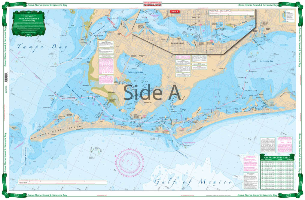
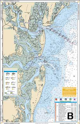
Anna Maria Sound and Sarasota Bay Large Print Navigation Chart 21E
$32.95 -
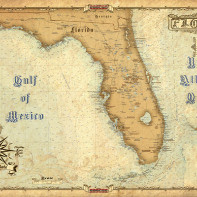
Antique Maps of Florida
$15.99 -
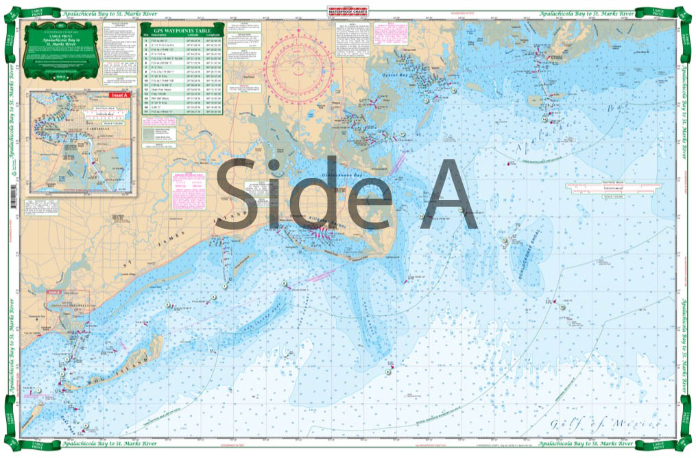
Apalachicola Bay to St. Marks River Large Print Navigation Chart 18E
$32.95 -
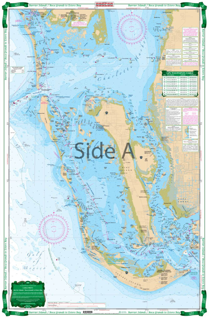
Barrier Islands Boca Grande to Estero Bay Large Print Navigation Chart 25E
$32.95 -
Big Bend Offshore Fish and Dive Chart 18F
$32.95 -
Biscayne Bay to Florida Bay Inshore Fishing Chart 33F
$32.95 -
Boca Grande to Osprey and Lemon Bay Large Print Navigation Chart 24E
$32.95 -
Caloosahatchee River Inshore Fishing Chart 220F
$32.95 -
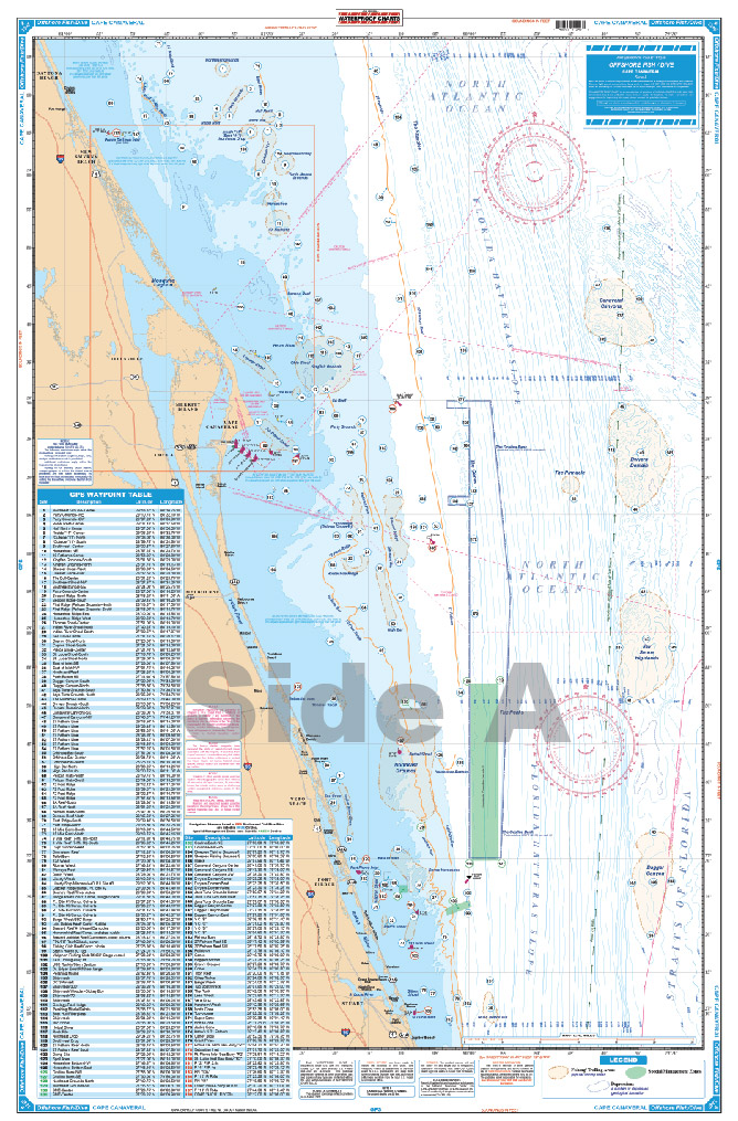
Cape Canaveral Offshore Fish and Dive Chart 124F
$32.95
Top rated products
-
 Everglades Challenge Kit
$119.95
Everglades Challenge Kit
$119.95
-
 Bahamas Chart Kit
$144.95
Bahamas Chart Kit
$144.95
-
 Caribbean Chart Kit
$124.95
Caribbean Chart Kit
$124.95
-
 St John's River Chart Kit - Inshore Fishing
$59.95
St John's River Chart Kit - Inshore Fishing
$59.95
-
 Jacksonville to Hilton Head Chart Kit - Inshore Fishing
$89.95
Jacksonville to Hilton Head Chart Kit - Inshore Fishing
$89.95