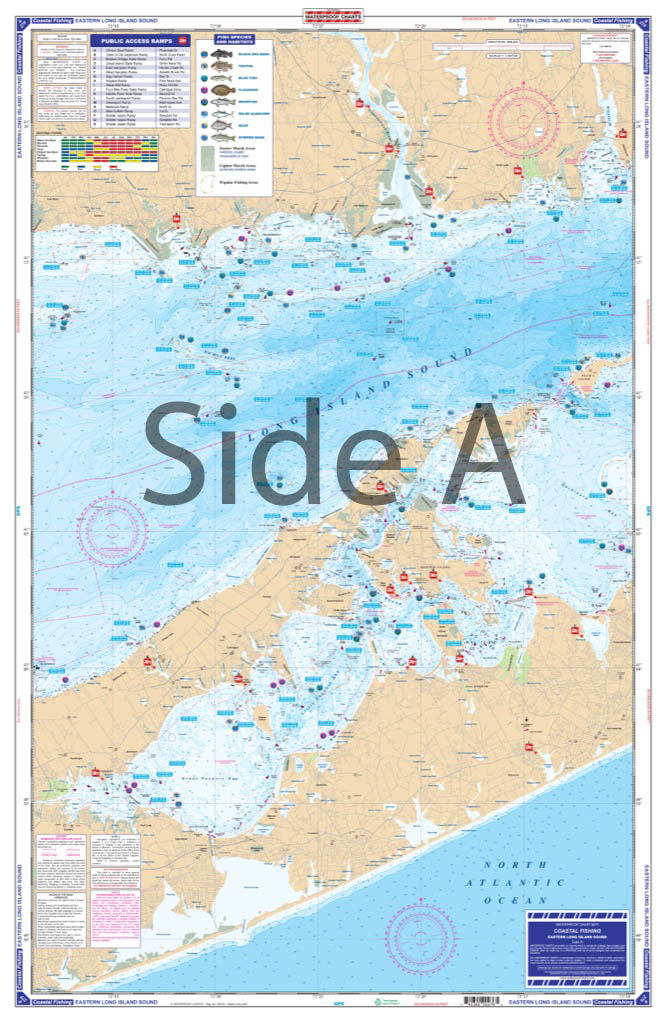
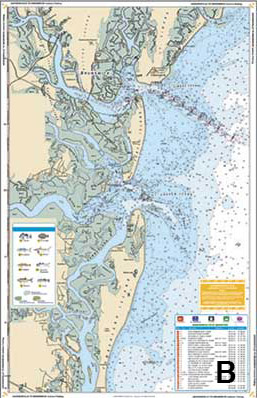
Coastal Fishing
Coastal Fishing charts come with dozens of pre plotted GPS coordinates making it easier to find important fishing locations. We have identified the most like species to be caught in the area and we have added the most popular boat ramps.
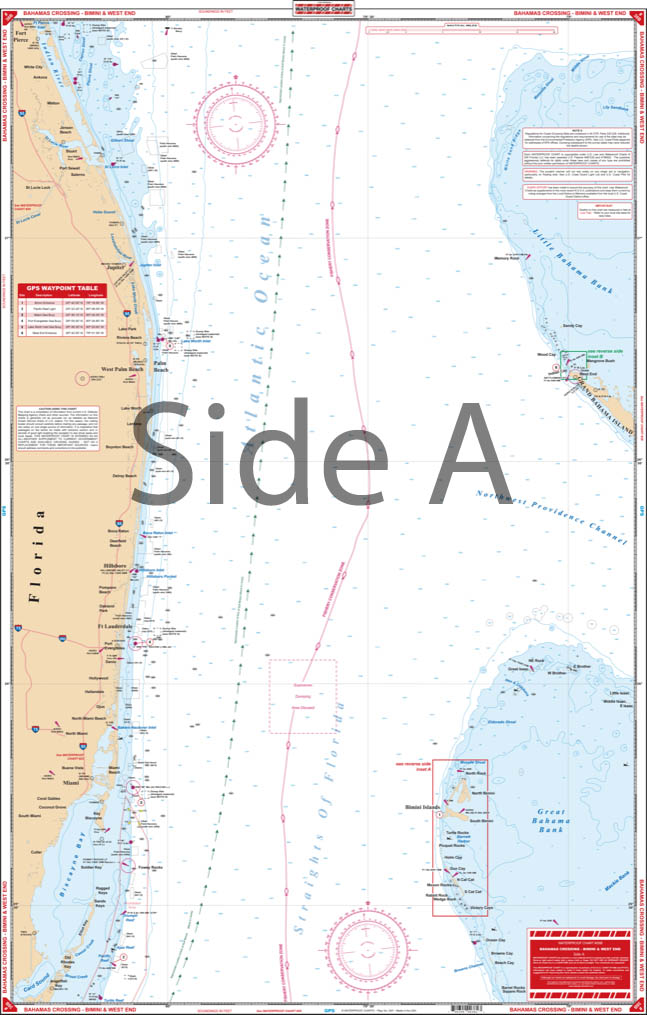
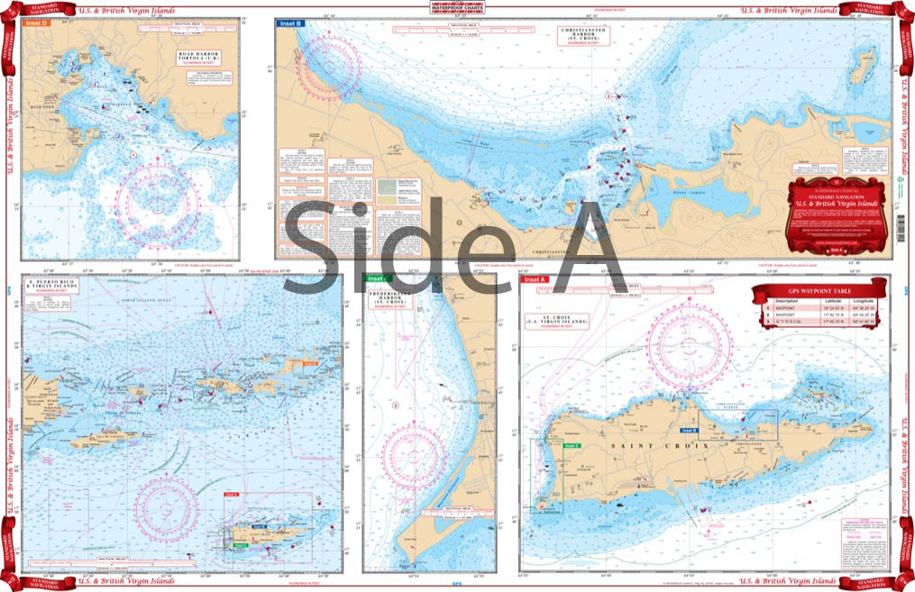
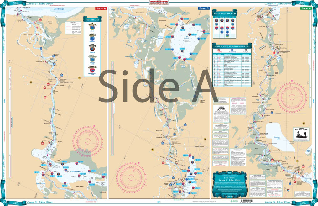
All of our Waterproof Charts are printed on Environmentally Friendly synthetic paper, can be marked on with a pencil and some grease pens. Coverage areas are from Maine to Texas, Bahamas and Caribbean Islands, Great Lakes and the West Coast of the United States from Washington down Mexico.
Showing 1–9 of 16 results
-

Barnegat Bay Coastal Fishing Chart 56F
$32.95 -
Buzzards Bay and Nantucket Sound Coastal Fishing Chart 61F
$29.95 -
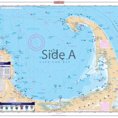
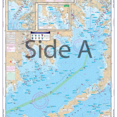
Cape Cod Bay and Massachusetts Bay Coastal Fishing Chart 65F
$32.95 -
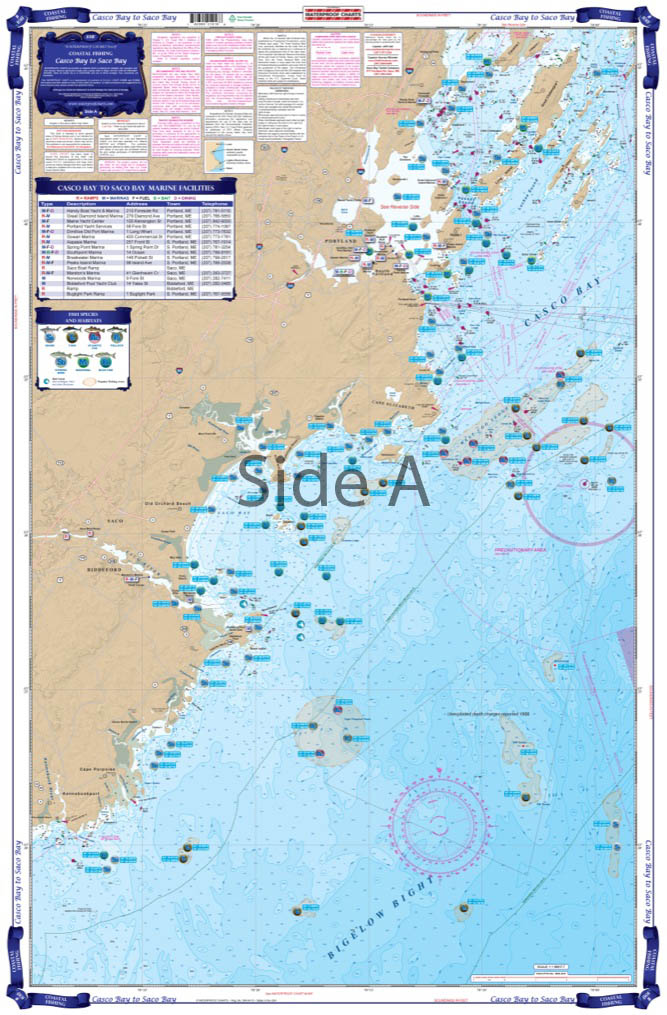
Casco Bay to Saco Bay Maine Costal Fishing Chart 101F
$32.95 -
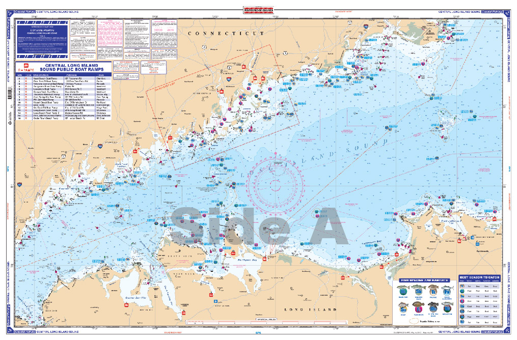
Central Long Island Sound Coastal Fishing Chart 26F
$32.95 -
Central Long Island Sound Coastal Fishing Chart 27F
$32.95 -
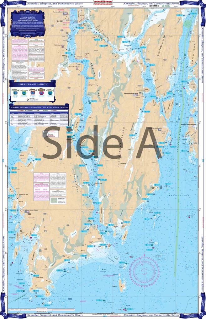
Kennebec Sheepscot and Damariscotta Rivers Costal Fishing Chart 102F
$32.95 -

Little Egg Harbor To Atlantic City Coastal Fishing Chart 156F
$32.95 -
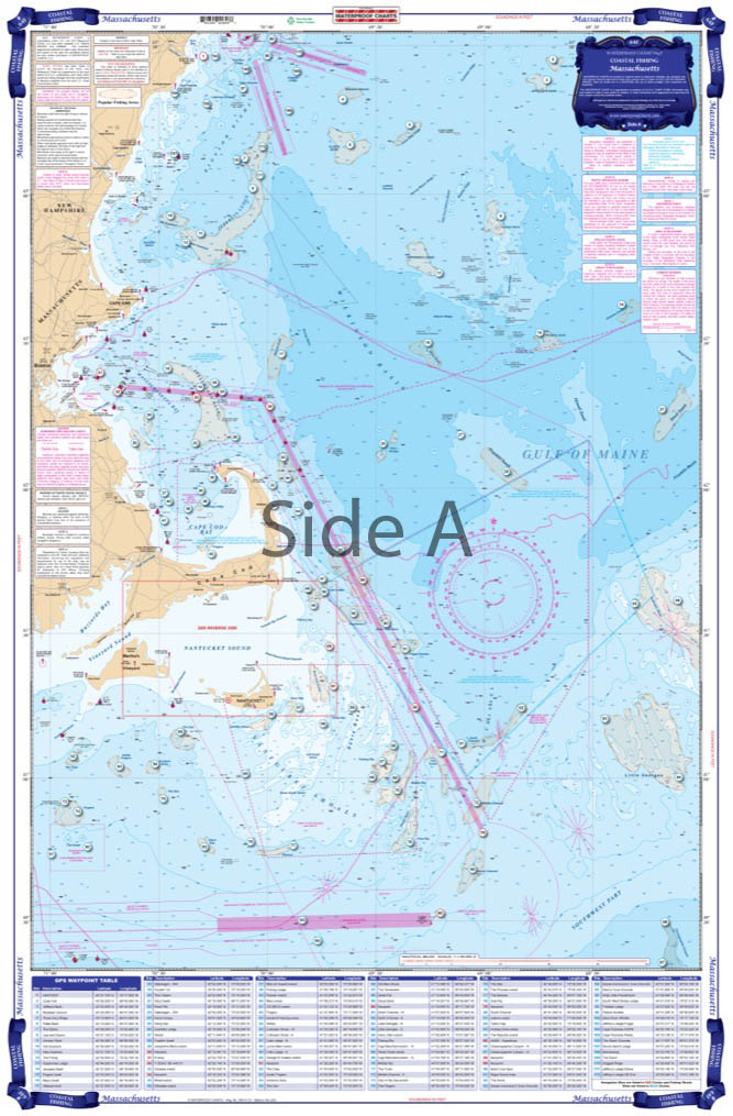
Massachusetts Coastal Fishing Chart 64F
$32.95
Top rated products
-
 Everglades Challenge Kit
$119.95
Everglades Challenge Kit
$119.95
-
 Bahamas Chart Kit
$144.95
Bahamas Chart Kit
$144.95
-
 Caribbean Chart Kit
$124.95
Caribbean Chart Kit
$124.95
-
 St John's River Chart Kit - Inshore Fishing
$59.95
St John's River Chart Kit - Inshore Fishing
$59.95
-
 Jacksonville to Hilton Head Chart Kit - Inshore Fishing
$89.95
Jacksonville to Hilton Head Chart Kit - Inshore Fishing
$89.95