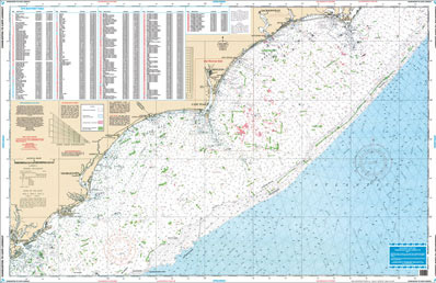
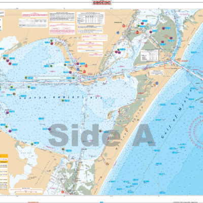
Inshore Fishing
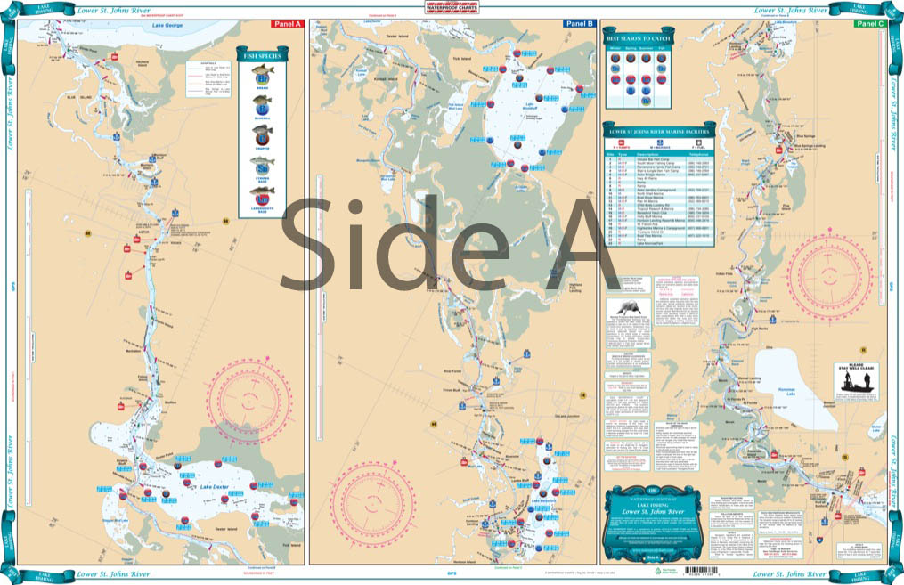
Inshore Fishing charts have all the great quality features you have come to expect from Waterproof Charts! They cover Inshore Fishing areas in complete detail, and pinpoint dozens of fishing areas with fish species legends identifying the types of fish caught in each area and a “Best Season to Catch” legend. These Charts also include a detailed marine facilities guide, giving locations of boat ramps, waterfront restaurants, bait and tackle locations more.
All of our Waterproof Charts are printed on Environmentally Friendly synthetic paper, can be marked on with a pencil and some grease pens. Coverage areas are from Maine to Texas, Bahamas and Caribbean Islands, Great Lakes and the West Coast of the United States from Washington down to Mexico.
Showing 1–9 of 33 results
-
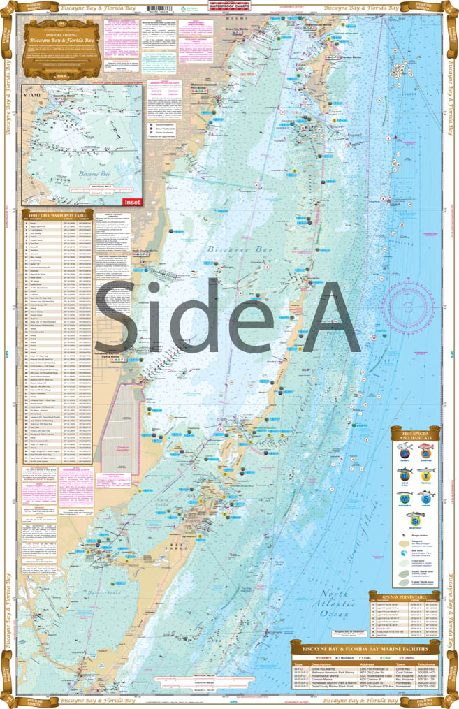
Biscayne Bay to Florida Bay Inshore Fishing Chart 33F
$32.95 -
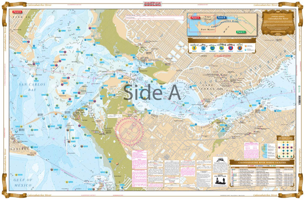
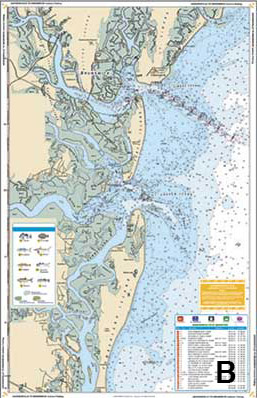
Caloosahatchee River Inshore Fishing Chart 220F
$32.95 -
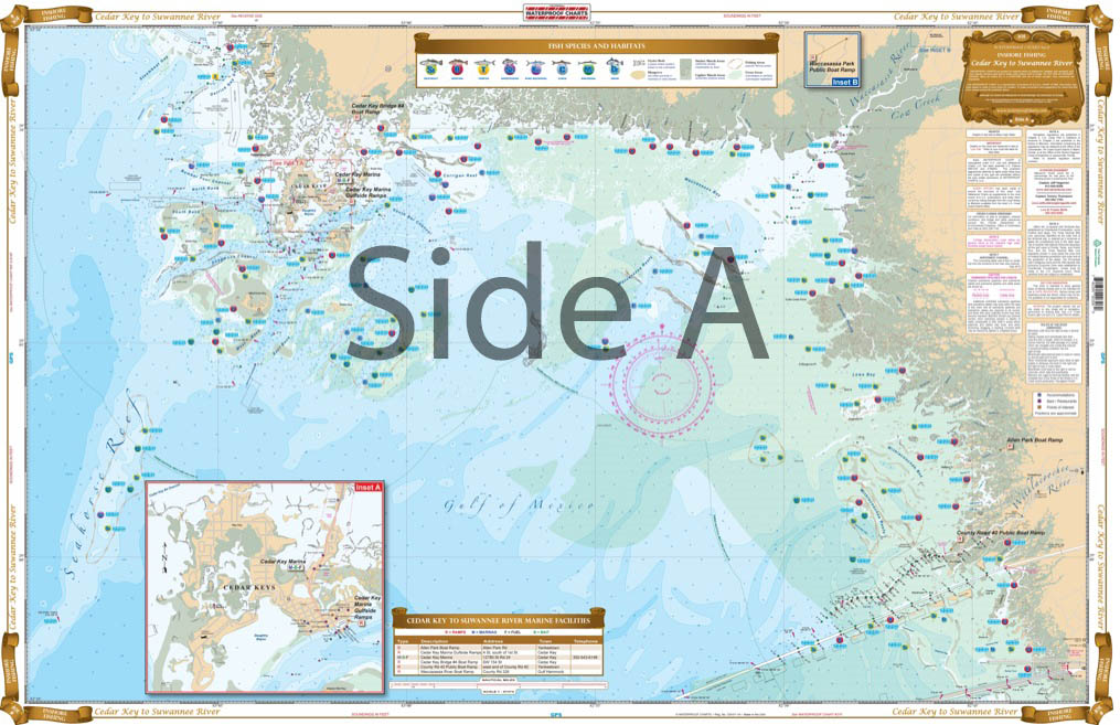
Cedar Key to Suwannee River Inshore Fishing Chart 30F
$32.95 -
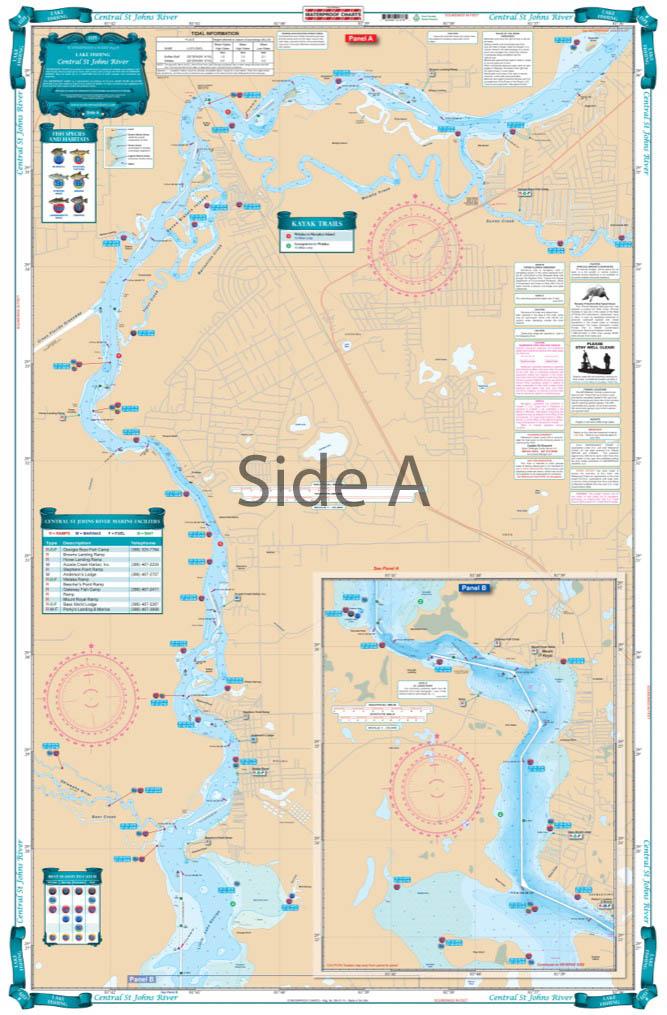
Central St. Johns River Fishing Chart 137F
$32.95 -
Charleston to Cape Lookout Offshore Fish and Dive Chart 95F
$29.95 -
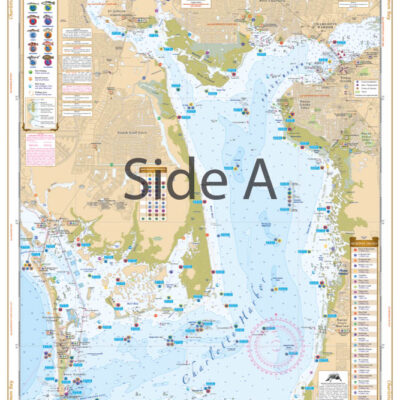
Charlotte Harbor and Lemon Bay Inshore Fishing Chart 1F
$32.95 -
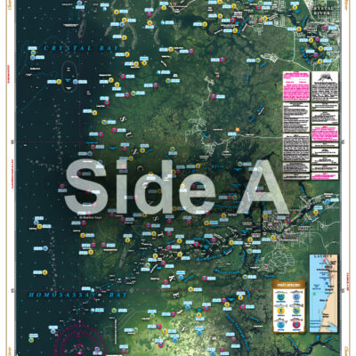
Clearwater to Crystal River Inshore Fishing Chart 31F
$32.95 -
Corpus Christi Inshore Fishing Chart 112F
$32.95 -
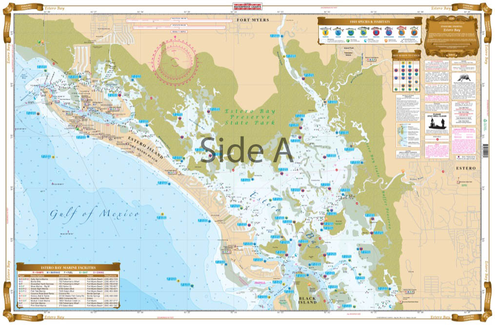
Estero Bay Inshore Fishing Chart 221F
$32.95
Top rated products
-
 Everglades Challenge Kit
$119.95
Everglades Challenge Kit
$119.95
-
 Bahamas Chart Kit
$144.95
Bahamas Chart Kit
$144.95
-
 Caribbean Chart Kit
$124.95
Caribbean Chart Kit
$124.95
-
 St John's River Chart Kit - Inshore Fishing
$59.95
St John's River Chart Kit - Inshore Fishing
$59.95
-
 Jacksonville to Hilton Head Chart Kit - Inshore Fishing
$89.95
Jacksonville to Hilton Head Chart Kit - Inshore Fishing
$89.95