Description
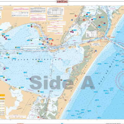
One side has offshore coverage from 10 miles south of Charleston to north of Morehead City and out past the 100 fathom curve. The reverse side details the Cape Fear and Frying Pan Shoals area north past Wrightsville Beach to New Topsail Inlet. Both sides have colored overlays which detail hardgrounds and live bottom areas plotted with GPS coordinates. The offshore side has additional bottom contours for the drop of area between 30 and 100 fathoms, detailing areas such as “The Steeples”, the “Georgetown Hole”, “Big Rock”, and “Sanctuary”. A total of 361 GPS Waypoints for wrecks, lights, and fishing sites. Charleston fishing trips are going to get exciting. Why? Because our fishing charts include dozens of locations to help you keep your lines tight. One side has offshore coverage from 10 miles south of Charleston to north of Morehead City and out past the 100 fathom curve. The reverse side details the Cape Fear and Frying Pan Shoals area north past Wrightsville Beach to New Topsail Inlet. Both sides of this marine map have colored overlays which detail hardgrounds and live bottom areas plotted with GPS coordinates. The offshore side has additional bottom contours for the drop of area between 30 and 100 fathoms, detailing areas such as “The Steeples”, the “Georgetown Hole”, “Big Rock”, and “Sanctuary”. A total of 361 GPS Waypoints for wrecks, lights, and fishing sites will help you stop driving around, and, instead, catch more fish. If you fish this area, you will want this navigation chart framed and hung in your home or office. Information from 3 NOAA charts: #11536, #11539, & #11520. Nautical Chart is 25″ X 38″. WGS84 – World Mercator Datum.


Reviews
There are no reviews yet.