Description
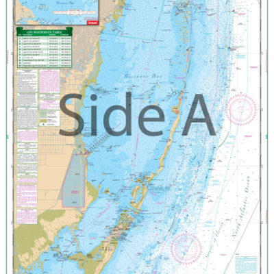
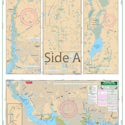
Approximately 20% larger than the original NOAA charts, this uncluttered chart is exceptionally easy to read. The west side covers from Woods Hole and Vineyard Haven on Martha’s Vineyard to Osterville and approximately 8 miles offshore of Cape Cod. The east side covers from Centerville Harbor East to Monomoy Island and the Stage Harbor Channel to Chatham, with good detail of Hyannis Harbor, Lewis Bay and the Bass River. (Does not include detail for Stage Harbor or Chatham – use Waterproof Chart #50E.) Plotted GPS Waypoints for the harbor entrances make it easy to set up your electronics. Chart #51E is a combination of 5 NOAA charts: 13229,13237 and 13233. WGS84-World Mercator Datum.
25″ x 38″.

Reviews
There are no reviews yet.