Description
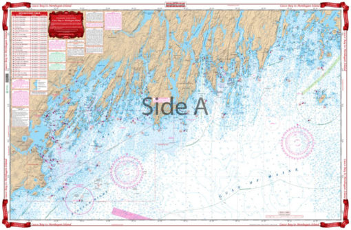
Coastal coverage from Cape Elizabeth to Muscongas Bay on one side with detailed coverage of the Portland to Cape Small area on the reverse side. 52 GPS waypoints. Bigger Place names make cities easier to find. Information from NOAA charts #13288, #13290 and #13293. This Maine marine chart offers boaters, fishermen, kayakers, and others on the water a detailed look at the Maine coast. This is the navigation chart you need if you live along the Maine coast, or are planning a trip to the area. One side of this navigation map offers a view of Cape Elizabeth Maine to Muscongas Bay. The other side provides a look at the area from Portland Maine to Cape Small. This Casco Bay map is full of useful information, as well as 52 GPS waypoints. This nautical map offers large text, making places easy to see. The bright colors and large amount of detail make this marine map excellent for framing. Information from NOAA charts #13288, #13290 and #13293. Nautical Chart is 25″ X 38″. WGS84 – World Mercator Datum.


Reviews
There are no reviews yet.