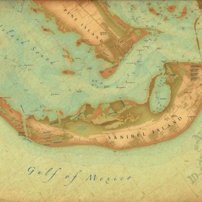
Description
A terrific combination of two charts for both a detailed view and a overall view of the Delta Area. The offshore side covers from Horn Island, south past the Chandeleurs, covers the entire south delta up to 40 miles south of Southwest Pass and west to Quatre Bayou Pass and the Grand Terre Islands.
The inshore side covers the River from Boothville south and includes four active Passes: Baptiste Collette, South Pass, Southwest Pass, and Tiger Pass. Both sides have an overlay for Block numbers and Block names which is the "language"of local fishermen. Important landmark fishing areas are added to the offshore side as well as defined curves for 50 fathoms and 100 fathoms.
GPS coordinates are included for pass entrances and fishing areas. Detailed insets for Pilotown and the jetty areas of South and Southwest Pass. Information from 2 NOAA charts: 11361 and 11366. WGS84-World Mercator Datum.
25" x 38".


Reviews
There are no reviews yet.