100% WATERPROOF
TEAR RESISTANT
BUILT FOR ADVENTURE
FREE SHIPPING ON ORDERS $150+
MADE IN THE USA
Regional Charts
⌄
Bahamas
California and Mexico
Cape Cod, New York and Vermont
Caribbean
Florida
Georgia to the Carolinas
Great Lakes
Gulf Coast
Hudson River and Lake Champlain
Maine to Boston
New York and New Jersey
Pacific Northwest
Virginia and Chesapeake Bay
View All Regions
Charts by Style
Styles
⌄
Standard Navigation
Large Print
Inshore Fishing
Offshore Fishing and Diving
Coastal Fishing
Lake Fishing
Bathymetric
NOAA
Satellite
Vintage
View All Styles
Accessories
Chart Kits
Custom
Resources
⌄
Terms
Guarantee Policy
Contact
0
Home
/
Region
/ Maine to Boston
Charts by region
Maine to Boston
100% waterproof
Tear resistant
Built for adventure
Made in the USA
Shop Maine to Boston charts
Browse by style
Filter by style:
All
12
Standard Navigation
6
Large Print Navigation
2
Offshore Fish/Dive
1
Coastal Fishing
3
Showing 6 Standard Navigation charts in Maine to Boston
Default sorting
Sort by popularity
Sort by average rating
Sort by latest
Sort by price: low to high
Sort by price: high to low
Standard Navigation
Chart #:
102
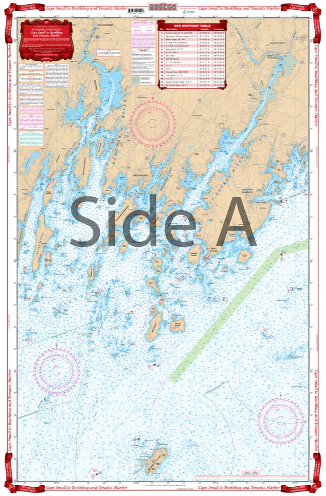
Cape Small and Bath to Boothbay Navigation Chart 102
$
32.95
Take a Look
Standard Navigation
Chart #:
101
Casco Bay to Monhegan ME Navigation Chart 101
$
32.95
Take a Look
Standard Navigation
Chart #:
105
Dessert Island and Area Navigation Chart 105
$
32.95
Take a Look
Standard Navigation
Chart #:
104
Eggemoggin Reach to Blue Hill Navigation Chart 104
$
32.95
Take a Look
Standard Navigation
Chart #:
103
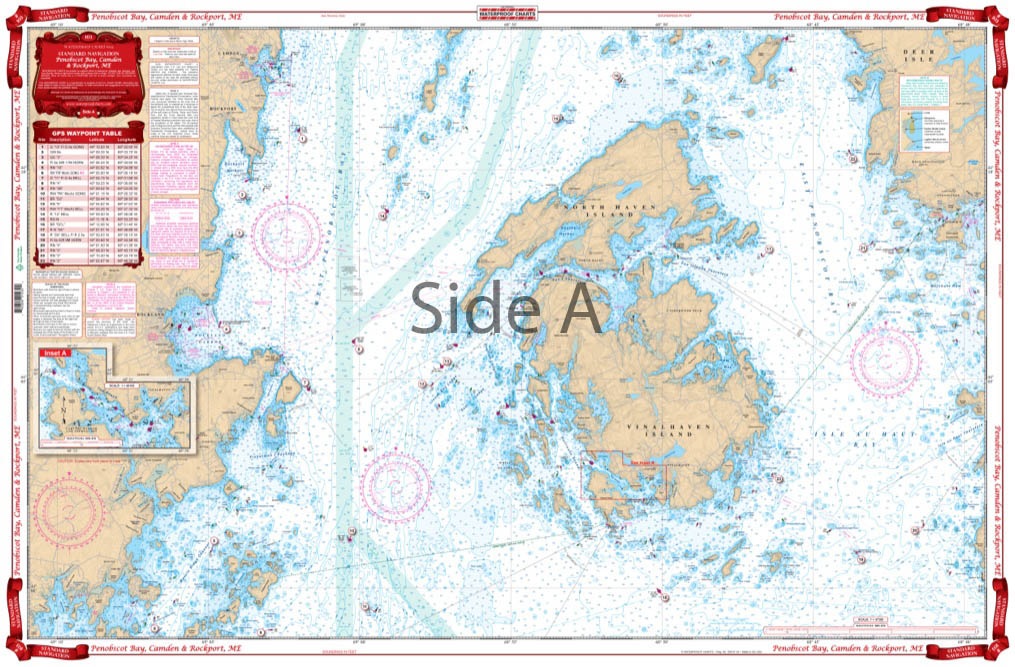
Penobscot Bay Camden and Rockport Navigation Chart 103
$
32.95
Take a Look
Standard Navigation
Chart #:
106
Rockport to Bangor Navigation Chart 106
$
29.95
Out of stock
Why boaters trust Nautical Charts
100% waterproof
Tear resistant
Built for adventure
Made in the USA
Search for:
Search
Cart
Top rated products
Custom Chart Artwork
$
23.10
–
$
820.00
Price range: $23.10 through $820.00
Chicago River Wrapped Canvas Map Art
$
79.99
–
$
149.99
Price range: $79.99 through $149.99
Boston Harbor Wrapped Canvas Map Art
$
79.99
–
$
149.99
Price range: $79.99 through $149.99
Washington DC Wrapped Canvas Map Art
$
79.99
–
$
149.99
Price range: $79.99 through $149.99
Tampa Bay Wrapped Canvas Map Art
$
79.99
–
$
149.99
Price range: $79.99 through $149.99
Product categories
Select a category
Accessories and Navigation Tools
Chart Kits
Framed Charts
NOAA
Region
Bahamas
California and Mexico
Cape Cod, New York and Vermont
Caribbean
Florida
Georgia to the Carolinas
Great Lakes
Gulf Coast
Hudson River and Lake Champlain
Maine to Boston
New York and New Jersey
Pacific Northwest
Virginia and Chesapeake Bay
Style
Bathymetric
Coastal Fishing
Decorative Charts
Inshore Fishing
Lake Fishing
Large Print Navigation
Offshore Fish/Dive
Satellite
Standard Navigation
Vintage
Uncategorized
Wall Art
City Canvas Series
Coastal Artwork